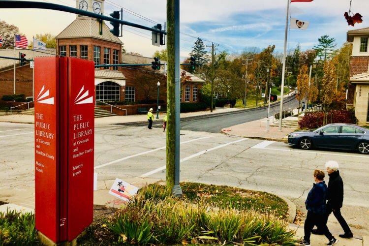
Cincinnati’s embrace of technology continues to draw attention, this time lasers & road repairs
The City of Cincinnati's embrace of technology and big data has exploded since the launch of its Office of Performance and Data Analytics late last year, with the latest approach being the use of lasers and GPS technology to fix potholes.
The City of Cincinnati’s embrace of technology and big data has exploded since the launch of its Office of Performance and Data Analytics late last year. National tech websites have praised the city for using data analysis to fight blight and to make local government more efficient and transparent.
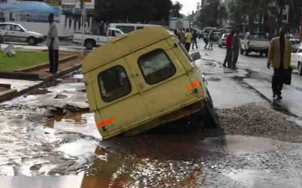
Now Governing Magazine looks at the city’s use of lasers and GPS technology to fix potholes and get ahead on road maintenance.
Michael Moore, director of the city’s Transportation and Engineering Department, explains the new approach.
“What’s really interesting about this is that there is a GPS component to it,” he tells the magazine. “So every bit of data they collect is coded and we can code this back to our local (geographic information system). We then know, pretty much on a granular level, where every pothole is, where we have rutting, where we have a roughness index — all of those things get captured and layered into the GIS system in a way that we don’t do today.”
Moore says the result of the faster, more accurate street survey will be what he calls an interactive “900-mile-long photograph.”
Read the full Governing Magazine story here.
Author